Col de l'Aup Martin

Hard
8h
20.11km
Round trip
+1145m
-1145m
Col de l'Aup Martin image1Col de l'Aup Martin image2
1 / 2

Description

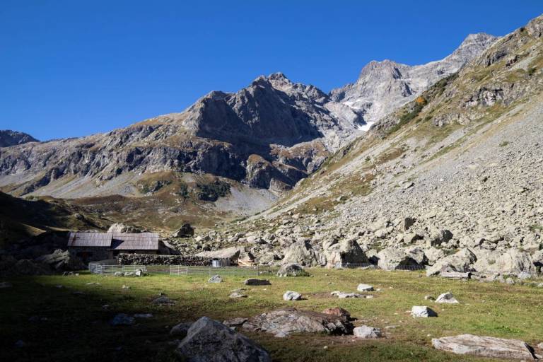
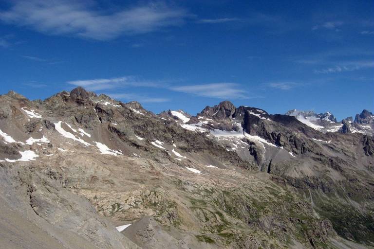
At an altitude of 2761 m, l’Aup Martin pass is the highest point on the GR54 Tour des Ecrins et de l'Oisans. The icy névé that remain until the beginning of spring or the slippery shale can make some stretches difficult.

"It is in the unstable scree around the pass that the two-flowered saxifrage has chosen to grow.  It is a small, rare, pink and white flower, whose petals are spread apart from each other. A very hostile environment for such a small flower!

Blandine Delanette, Warden for the Vallouise area.

Guided steps

Park at the Cascades car park, at the end of the road to the bottom of the Fressinières valley. Take the footpath to left at the end of the car park.

  1. At the first crossing, take the footpath to the left, GR54, cross the footbridge over the Onde towards Col de l'Aup Martin. Follow the cairns in the riverbed of the Onde to join the footpath that follows the Selle stream. This will take you to the pastoral hut of Jas Lacroix, which is next to a shelter for walkers on the GR54 trail. Continue on the footpath, which heads to the bottom of the valley, over a ledge next to a waterfall, then continues along the south slope on a ledge, sometimes between large stone walls, until it reaches a shale zone at the foot of the Aup Martin pass.
  2. The return trip can use the same route to get to Vallouise. The descent via Le Pas de la Cavale and Le Pré de la Chaumette enable you to continue on the GR54 to the Champsaur area. It is also possible to get to l'Argentière la Bessée via Le Pas de la Cavale and the Fournel valley.
Download GPX file
Address
05340, Vallouise-Pelvoux

Was this content helpful to you?