Tour of Oisans and Ecrins from L'Argentière-la-Bessée

Hard
360h
223.41km
+13495m
-13495m
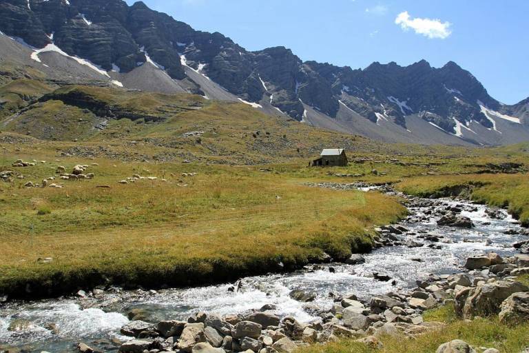
Tour of Oisans and Ecrins from L'Argentière-la-Bessée image1Tour of Oisans and Ecrins from L'Argentière-la-Bessée image2Tour of Oisans and Ecrins from L'Argentière-la-Bessée image3
1 / 3

Description

An arrival by train for an active two-week hiking adventure at the foot of the highest summits in the southern Alps.

The GR 54 footpath is one of the three great hiking trails in the French Alps (with Mont Blanc and the Vanoise).
But it is without doubt the most unspoilt of all, and the hardest too: 184 kilometres, 14 mountain passes and over 12 800 metres of inclines.
A trek through mountain villages, deep valleys and high Alpine passes, watched by emblematic wildlife, discreet but present.

Guided steps

Leaving from L'Argentière-les-Ecrins, the Tour des Ecrins and of L’Oisans begins gently, following the Onde mountain stream as far as Col de La Pousterle, the panoramic route on the following day's stage. To reach the wild Champsaur valley via the Pas de la Cavale, a footpath runs through the Fournel valley. You have to take care crossing no less than three mountain passes carved out in the schist before reaching Lake Vallonpierre and the Valgaudemar valley from Pré de la Chaumette. Along the Séveraisse, the footpath reaches La Chapelle-en-Valgaudemar and then rises in Villar Loubière as far as the Souffles refuge and the impressive Col de la Vaurze. Equally impressive is the descent towards the unspoilt Valjouffrey. The rich green Col de Côte Belle contrasts with the schist landscapes we have seen until now. Valsenestre, in the Béranger valley, comes as a well-earned rest before we set off for the last few twists and turns. We arrive at the vertical Col de la Muzelle, the final point of this grand tour. After Lake Muzelle comes Lake Lauvitel, the biggest lake in L’Oisans, at the end of the mountain pass of the valley. A long, gentle descent along the Vénéon mountain stream leads to Le Bourg d'Oisans. We continue our grand tour along the GR footpath with the help of handrails to reach the small villages perched on the mountainside. The path then goes down to the Sarenne mountain stream before rising again as far as the mountain pass, with a panorama over the Monts de Lans. Then comes a descent towards Clavans and the Ferrand valley, followed by a fine climb as far as Besse at the edge of the vast Emparis plateau. Above, Col de Souchet offers a five-star view over the Meije. After some 1000 metres of descent, La Grave awaits us. We then walk along the River Romanche as far as its source on the mountain pastures of Villar d'Arène. When you arrive at Col d'Arsine, the spectacle is astounding. This mountain setting is an invitation to visit the Arsine glacier lake before beginning the long descent along the Petit Tabuc mountain stream as far as the Guisane valley and Monêtier-les-Bains. Our destination is La Vallouise, via Col de l'Eychauda and the peaceful chalets of Chambran. The final stage is gentle, and we arrive, after Col de La Pousterle, which we left behind us two weeks earlier, in L'Argentière-les-Ecrins. We have come full circle!

Download GPX file
Address
05120, L'Argentière-la-Bessée

Was this content helpful to you?